基于多源遥感数据的疏勒河上游山区流域VIC-CAS模型积雪模拟效果评估
Evaluation on snow coverage and snow depth simulated by VIC-CAS model based on multi-source remote sensing data in mountainous upper reach of the Shule River basin
基于多源遥感数据的疏勒河上游山区流域VIC-CAS模型积雪模拟效果评估 |
| 郭佳锴, 李哲, 李飞, 张世强 |
|
Evaluation on snow coverage and snow depth simulated by VIC-CAS model based on multi-source remote sensing data in mountainous upper reach of the Shule River basin |
| Jiakai GUO, Zhe LI, Fei LI, Shiqiang ZHANG |
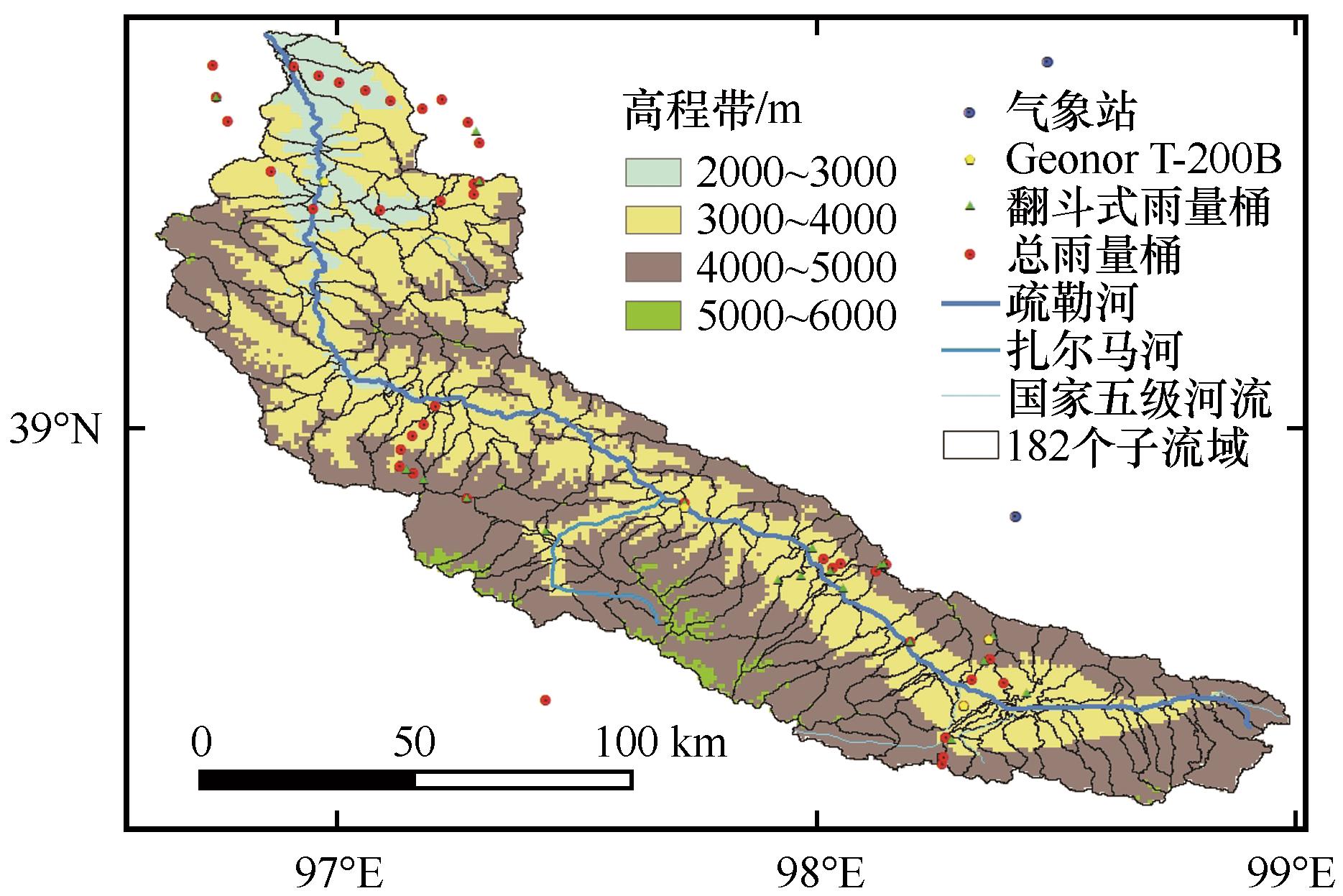
| 图1 疏勒河上游山区流域气象站、雨量计和高程带分布及VIC-CAS模型中的182个子流域单元 |
| Fig.1 Spatial distribution of meteorological stations and rain gauges, elevation zones, and 182 sub-basins of VIC-CAS in mountainous upper reach of the Shule River basin |
|
|