 PDF(6257 KB)
 PDF(6257 KB)

 PDF(6257 KB)
祁连山区多年冻土空间分布模拟
 ({{custom_author.role_cn}}), {{javascript:window.custom_author_cn_index++;}}
Simulation of the permafrost distribution in the Qilian Mountains
({{custom_author.role_en}}), {{javascript:window.custom_author_en_index++;}}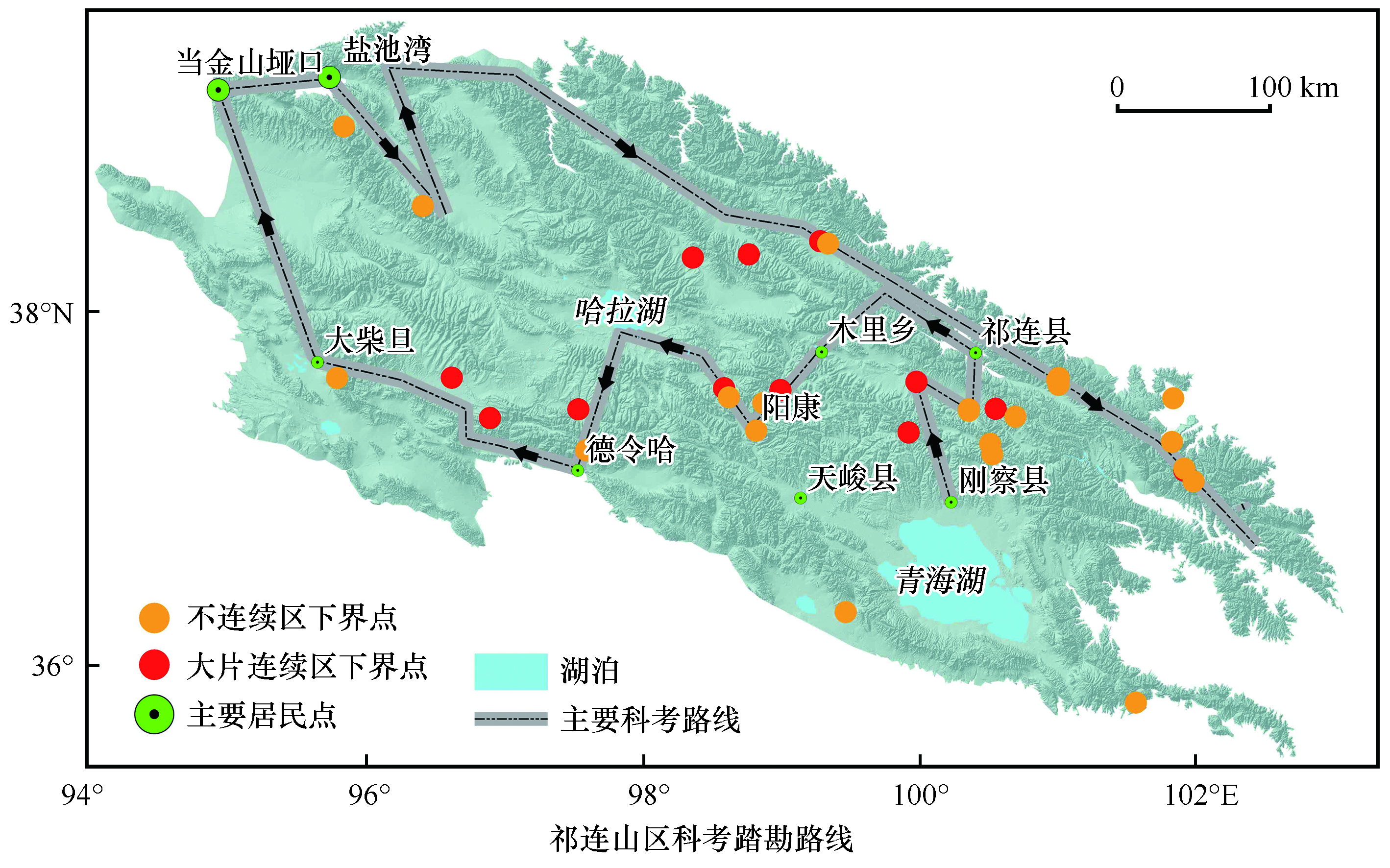
| {{custom_ref.label}} |
{{custom_citation.content}}
{{custom_citation.annotation}}
|
 甘公网安备 62010202000676号
/
| 〈 |
|
〉 |


